


Stewart’s Point is a tiny hamlet located on the northern arm of Lake Mead. It’s within the Lake Mead National Recreational Area, but is a small community of homes that was grandfathered into the Area. But, right along the water’s edge at Stewart’s Point is a dispersed camping area.
Sash and I arrived here November 13, 2018, after a long haul from Joshua Tree South BLM. We had read about this place online and wanted to give it a try considering it’s located along the shores of Lake Mead.
There’s a fee to enter Lake Mead National Recreational Area, but we have an Access Pass that let’s us in for free.
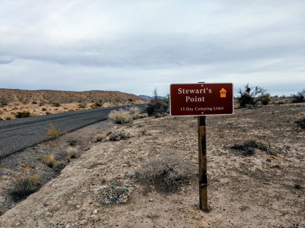
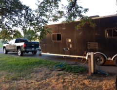
The road into Stewart’s Point starts with Highway 167, the main road that runs through the Area. A turn along Stewart’s Point Rd takes into the dispersed campground. The asphalt is bumpy, and will force to slow down. It eventually becomes gravel, and seemingly, is more smooth to drive along than the pavement. The sight of a pit toilet marks the start of the dispersed campground.
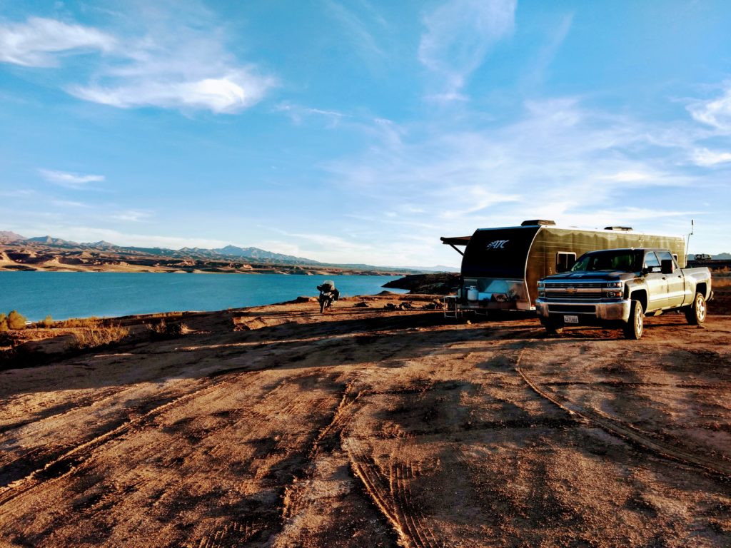
At that point, there are numerous roads that go off in all sorts of directions. The dispersed campground is seemingly huge, going for a few miles south along the shoreline. The shoreline itself is actually steep due to the recessed water levels of Lake Mead. Some of these roads may require high clearance, but they all seem to well-packed that you won’t get stuck in anything soft. However, the roads that lead down to the water’s edge are rutted, very bumpy, and some quite steep; you may need 4×4 wheel drive to help you gain traction over the gravel.
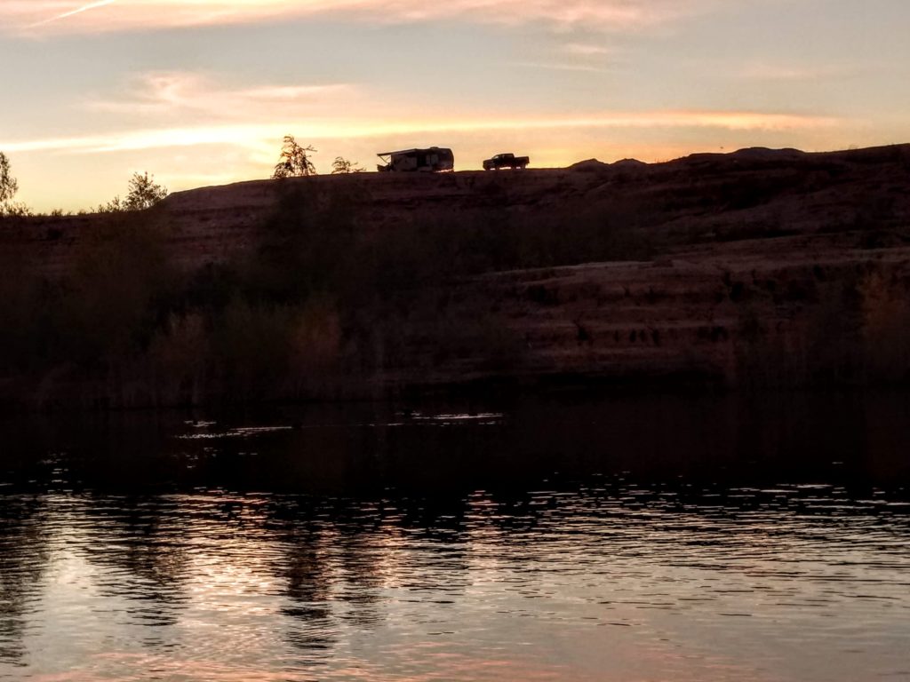
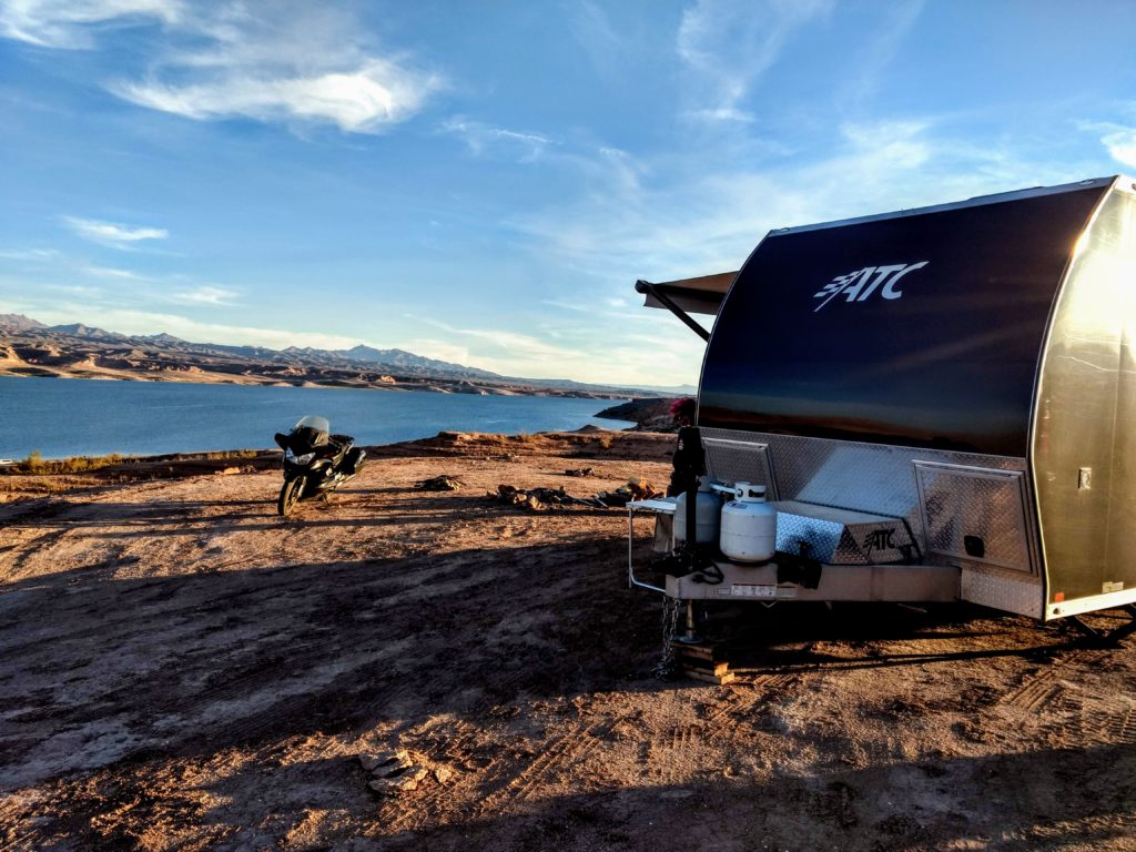
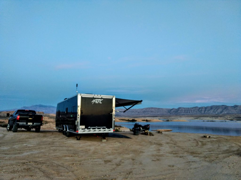
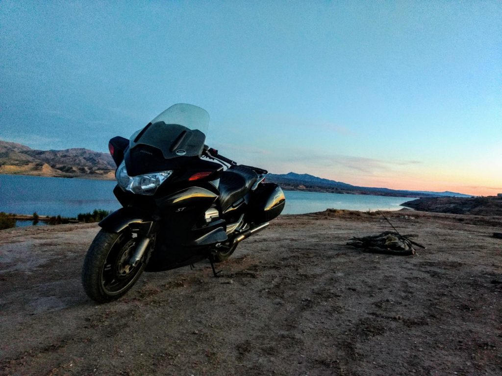
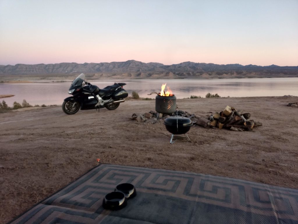
Sash and I were able to find a spot about half-way down to the water’s edge, on a little plateau with an awesome view of Lake Mead. Our site’s GPS coordinates: 36.377392, -114.392810
Signs posted at the entrance of Stewart’s Point remind campers of the 15-day maximum stay. We did see park rangers patrolling the area occasionally. We didn’t notice any campers staying beyond that limit.
Aside from the pit toilet, there aren’t any other amenities at Stewart’s Point. The closest trash dump is at Blue Point Spring, only a 1/4 mile from where Stewart’s Point Rd intersects with Highway 167. The closest RV dump station with potable water is at Echo Bay Campground, about 10 miles south along Highway 167. The town of Overton has a grocery store, gas station, a McDonald’s, a few restaurants, and a couple of hardware stores. The only propane filling station is at a repair shop called, “Cal’s Repair Center”.
There isn’t really any hiking at Stewart’s Point, though you certainly could walk for a few miles around the dispersed campground. However, there’s plenty of hiking trails throughout Lake Mead National Recreation Area, including nearby Valley of Fire State Park. You can also hike into the ghost town of St. Thomas and see the remnants of buildings there.
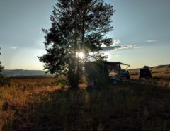
Otherwise, you can expect a great deal of peace & quiet along with beautiful views of Lake Mead, and gorgeous sunsets. You’ll even hear the cries of coyotes in the distance.
You won’t, however, get great signal coverage from cellphone carriers. We could only get about 1 bar from Verizon 4G, but was able to turn it into 2-3 bars through the WeBoost, and was still good enough to do my website development, and good enough to stream Netflix, YouTube, and Amazon Prime.
For the most part, the wind was kept minimal, though there was a couple of days where it blew strong enough to roll up the awning.
Leave a Reply